Download Contour Abstract Cartography Graphics
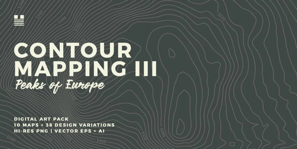
Contour Abstract Cartography is a collection of 15 vector illustrations. This collections explores topographical contouring, isolated forms and 3D abstract geographic elevation. These files are provided as a fully scaleable, editable vector eps and transparent png formats perfect for print or web graphics.
This set includes:
Included: 15 Images
Dimensions: 6000×6000
Resolution: 300 DPI
File Type: EPS, PNG, JPEG
Requirements: Adobe CS


